Decks and additions
Place deck footprints, stairs, additions, pergolas, garages, or sheds against the real property layout before the idea becomes lumber and invoices.
A concept service from The OverEngineered: drone photogrammetry turned into a physical planning kit for decks, pools, sheds, gardens, grading ideas, and the outdoor projects that get expensive when everyone is guessing.
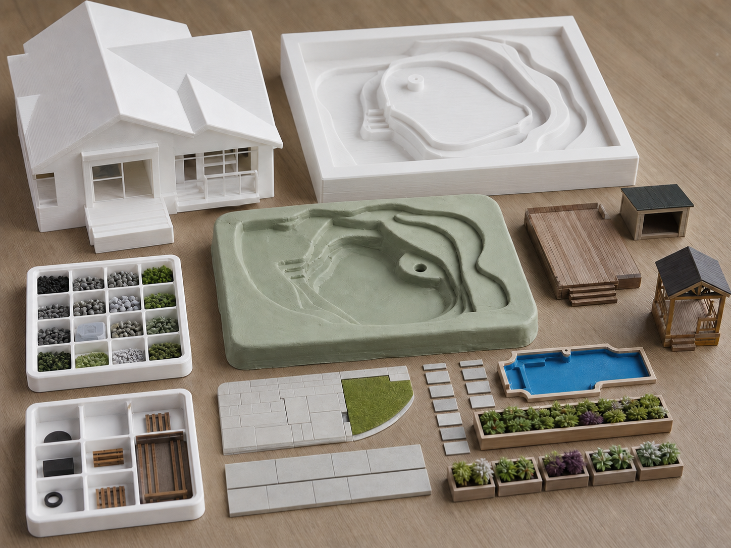
Flat drawings are useful. So are digital renders. But backyard projects often hinge on the physical relationship between the house, grade, fences, trees, access paths, and the awkward corner nobody wants to talk about.
The pilot kit explores a more tactile approach: durable printed buildings, editable terrain, and small optional pieces for the things homeowners actually move around in their heads before committing money.
The first audience is homeowners and contractors planning outdoor changes where layout, slope, access, and “will that actually fit?” all matter.
Place deck footprints, stairs, additions, pergolas, garages, or sheds against the real property layout before the idea becomes lumber and invoices.
Explore pool placement, ponds, patios, and walkways with a better feel for grade, sight lines, setbacks, and usable outdoor space.
Use reshapeable terrain to test planting beds, retaining ideas, drainage concepts, and the parts of landscaping that are hard to explain on a flat screen.
The pilot workflow uses proven photogrammetry tools first. The custom work is in cleanup, segmentation, print preparation, mould generation, and making the result useful to normal humans.
AI simulation: This video is an AI-generated visual explanation, not live project footage. It represents the intended workflow: using aerial photos and video to reconstruct a digital 3D model of a property, then exploring changes such as decks, pools, and landscaping in a CAD-style planning environment.
Capture bonus: The same drone visit can also provide a useful visual package of photos and video from angles most homeowners rarely see, including rooflines, eavestroughs, grading, and hard-to-view exterior areas. This is helpful documentation, not a formal roof, drainage, or building inspection.
The intended workflow separates durable objects from reshapeable landscape areas: print the house and fixed structures, then print a terrain mould that can be filled, modified, and used for hands-on planning.
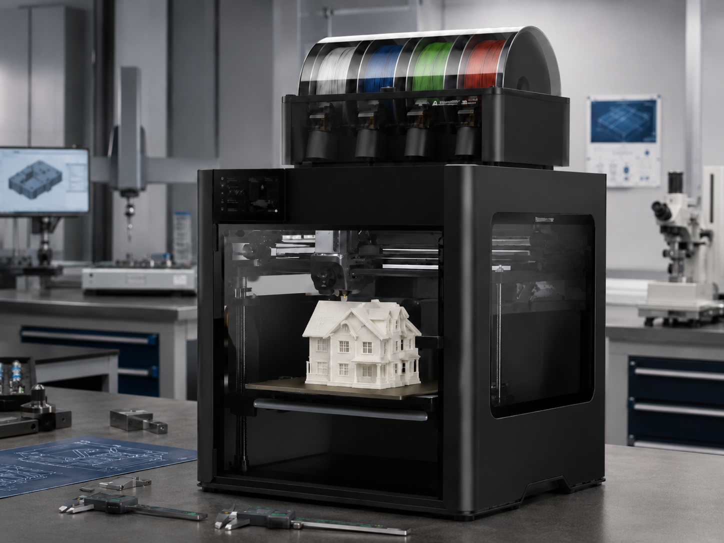
The house, garage, shed, and other fixed elements can be printed as solid pieces, giving the planning kit a reliable physical reference for layout and scale.
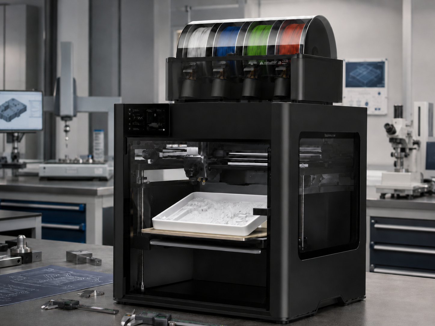
A negative mould can be used with modelling material so homeowners can reshape grades, pools, ponds, beds, paths, and project ideas without needing CAD skills.
Concept imagery: These printer images are AI-generated visual references for the proposed fabrication workflow. Final production photos will replace them as prototype kits are built.
A compact 1:100 model gives the whole-property overview. A larger 1:50 kit makes the backyard easier to handle, reshape, and use for practical project decisions.
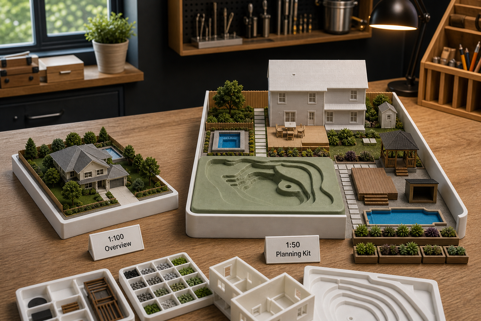
These are working package ideas for market validation. Pricing, measurement tolerance, delivery time, and service area would be finalized after prototype runs.
Pilot pricing: Digital property scans are expected to start around $249 CAD. Physical models and 1:50 backyard planning kits will vary by property size, scale, print complexity, and selected add-ons.
This is in prototype mode. The best early projects are properties with an upcoming outdoor build, visible grade changes, or enough “wait, where would that go?” energy to justify a physical planning model.
Service area: The pilot operates out of Orleans in Ottawa, Ontario. Early projects will focus on Ottawa and nearby communities, with broader Ontario availability considered case by case.
Important limitation: Property models are intended for visualization, planning conversations, and design exploration. They are not legal surveys, engineering drawings, permit documents, or a substitute for qualified survey, grading, drainage, structural, or zoning advice.